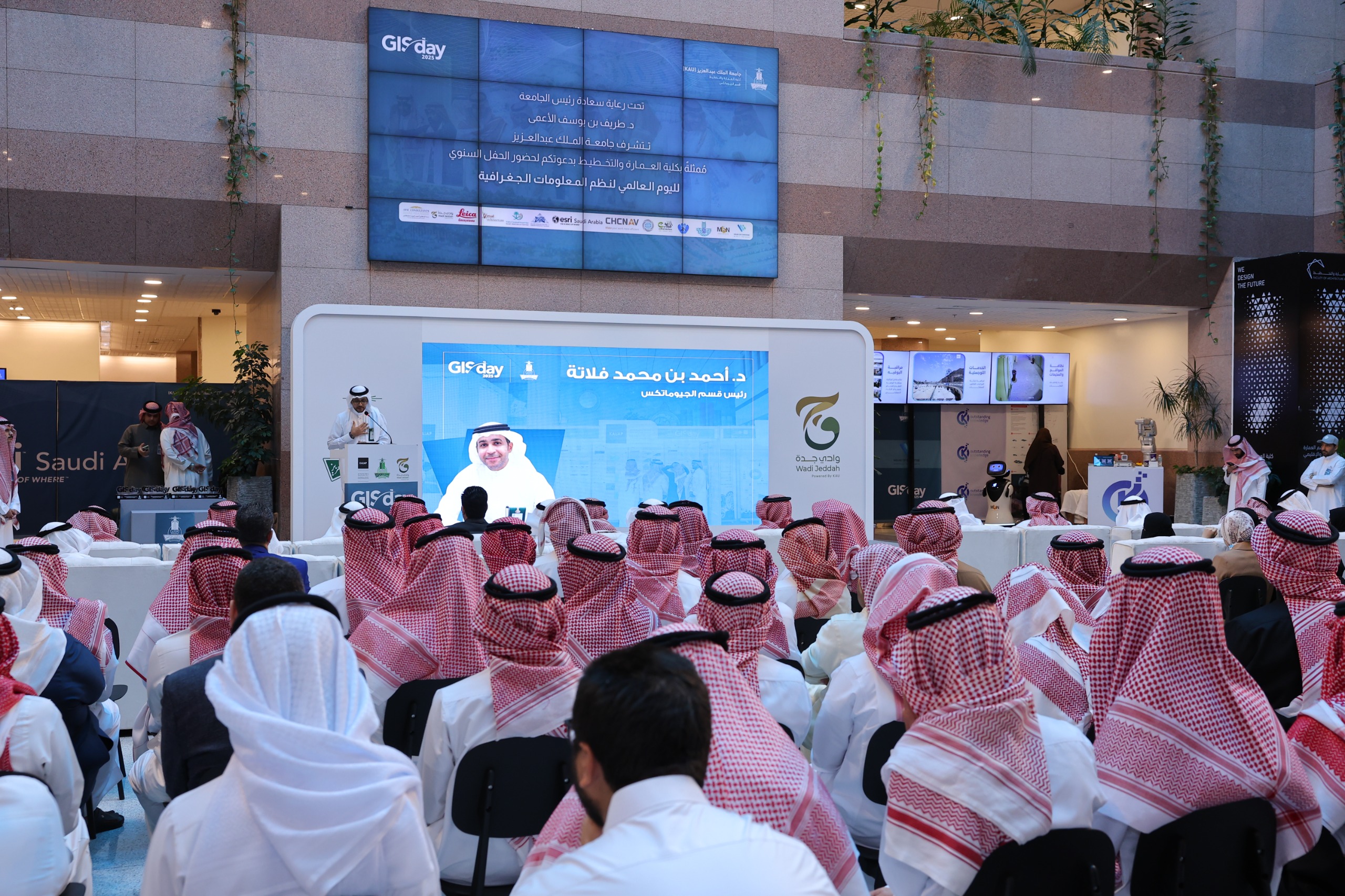
King Abdulaziz University, represented by the Department of Geomatics within the Faculty of Architecture and Planning, celebrated GIS Day 2025 as part of a global initiative launched in 1999 to raise awareness of spatial technologies and their role in data analysis and informed decision-making. The event was held in the presence of Dr. Mohammed Ahmed Al-Amoudi, Vice President for Business and Knowledge Creativity.
The event aimed to highlight the vital role of Geographic Information Systems (GIS) in areas such as urban planning, resource management, environmental protection, and sustainable development. It also reinforced the Department of Geomatics’ standing as a leader in academic education and research in the geospatial field.
The program featured scientific lectures and specialized workshops, including:
- Indoor Mapping for Higher Education Using ArcGIS Indoors
- AI Tools in Geospatial Intelligence
- A panel discussion titled "Geospatial Transformation Toward Smart Cities and the Role of AI in Decision-Making," featuring contributions from leading experts and academics
The event also included a wide range of hands-on activities and interactive experiences, such as:
- GIS workshops using ArcGIS Living Atlas
- Photogrammetry using PIX4D to generate 3D models from images
- Drone technology demonstrations
- Virtual reality (VR) simulations
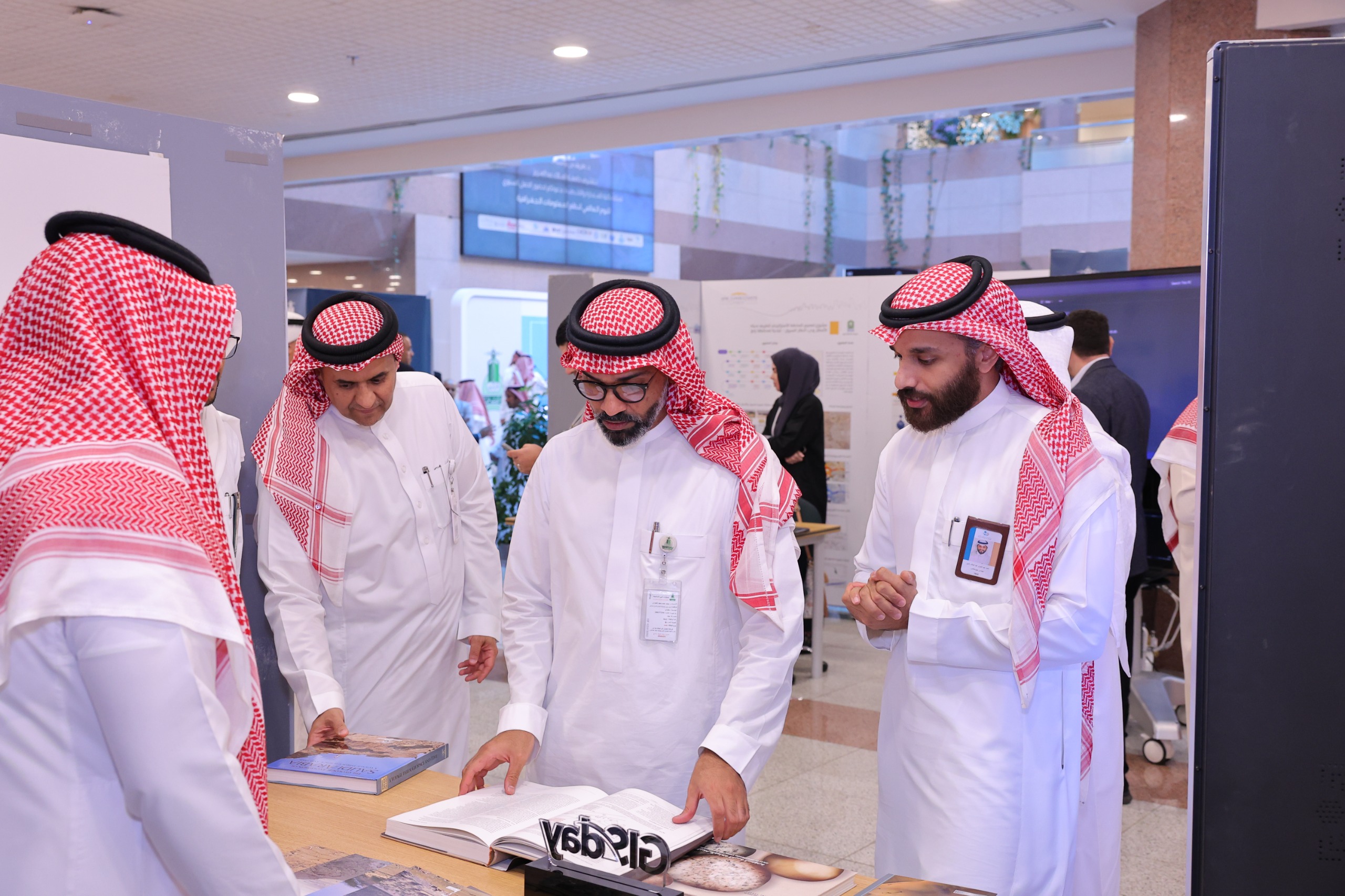
- A student project exhibition
- A field tour for practical application of spatial technologies
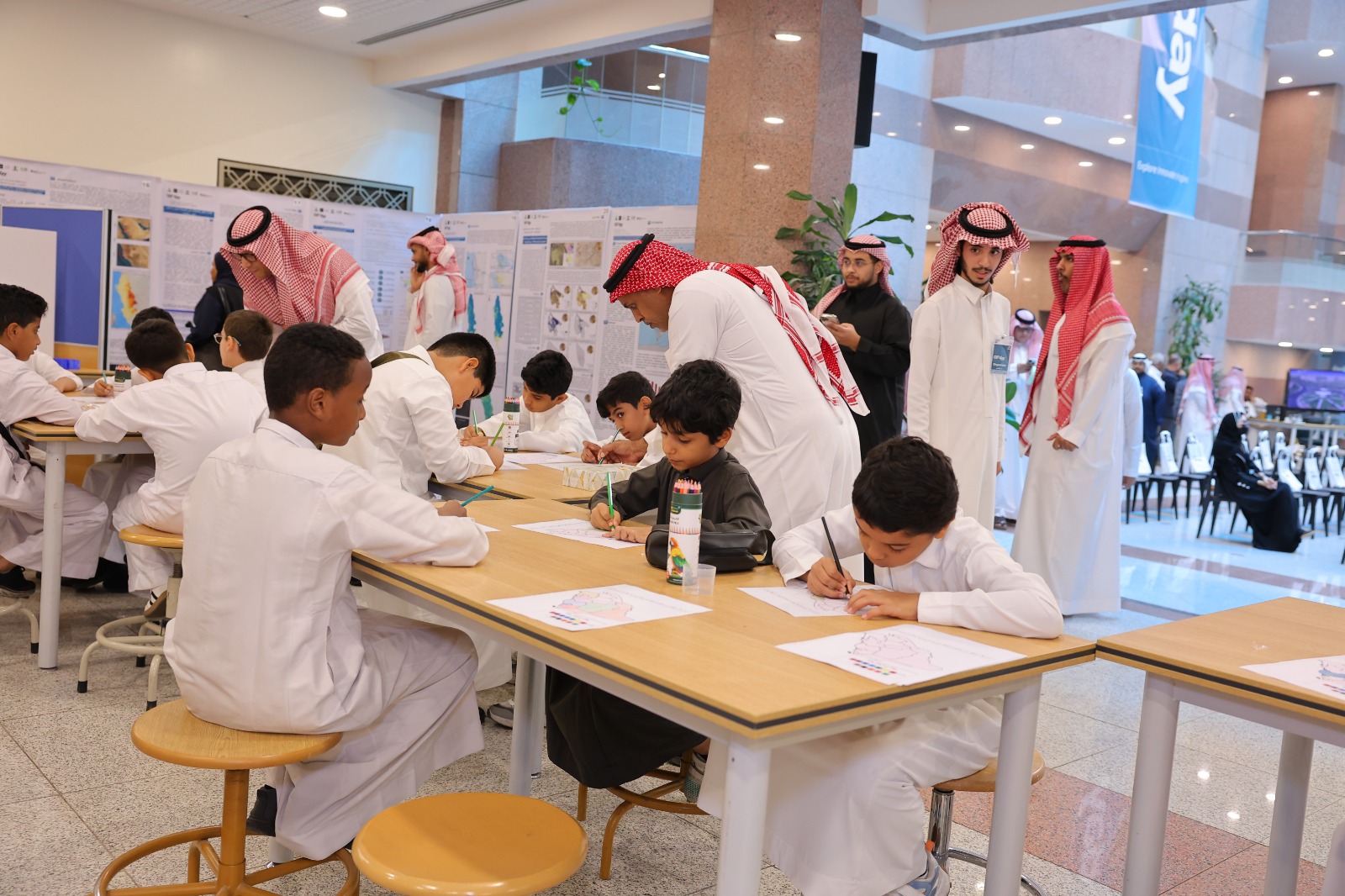
- A dedicated children’s corner introducing young visitors to maps and spatial technology in an engaging, age-appropriate format
The event attracted more than 2,500 participants, including students, professionals, and academics. It showcased over 50 projects and offered 10 workshops, with participation from 35 schools. A volunteer team of more than 100 students from the Department of Geomatics supported the event in collaboration with GIS software companies, government agencies, and technology firms.
Organizers emphasized that GIS Day serves as a platform to raise public awareness about the importance of spatial data and its role in advancing smart city development, enhancing quality of life, and expanding cooperation with local and international partners in GIS, artificial intelligence, and supporting technologies.
This year also saw strong participation from the public education sector, with 21 schools attending the event,each bringing approximately 40 students to learn about the field of geomatics and explore future opportunities in spatial technologies.